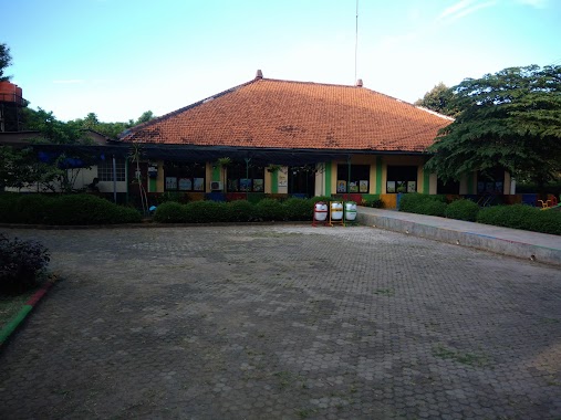
School nearby SD Negeri Dukuh 08 Pagi
Coronavirus disease (COVID-19) Situation
confirmed cases
6829221
deaths
162063
Indonesia
School nearby SD Negeri Dukuh 08 Pagi
SD Negeri Dukuh 08 Pagi
41, Jalan Penggilingan Baru I, 13550, Kota Jakarta Timur, Daerah Khusus Ibukota Jakarta, ID Indonesia
contacts phone
:
+62 21 8416612
Latitude:
-6.3013382
, Longitude:
106.8766881
larger map & directions
read more
nearest School
285 m
TK Islam Al-Iman
Jalan Delima Raya No.IX, RT.14/RW.3, Rambutan
School
read more
380 m
SD Negeri Dukuh 05 Pagi
Jalan Penggilingan Baru No.20, RT.8/RW.4, Dukuh, Kramatjati, RT.8/RW.4, Dukuh
School
read more
405 m
Smk Kesdam Jaya Jakarta
Indonesia
School
read more
483 m
Bimbingan Minat Baca Dan Belajar Anak AIUEO - Delima Raya / Klender
Jalan Delima Raya No.99, Rambutan
School
read more
515 m
SMK Karya Wijaya Kusuma
Jalan Mujahidin No.23, RT.9/RW.5, Rambutan
School
read more
515 m
Yayasan Kuntum Wijaya Kusuma
Jalan Mujahidin No.15-37, RT.11/RW.2, Rambutan
School
read more
555 m
PAUD RIA Pembangunan
Bumi Harapan RT.8/RW.6, Dukuh
School
read more
559 m
Markaz Utrujah Putra
Jl.H.Muhayang. rt/rw 15/02 no.33 jaktim, RT.2/RW.2, Rambutan
School
read more
570 m
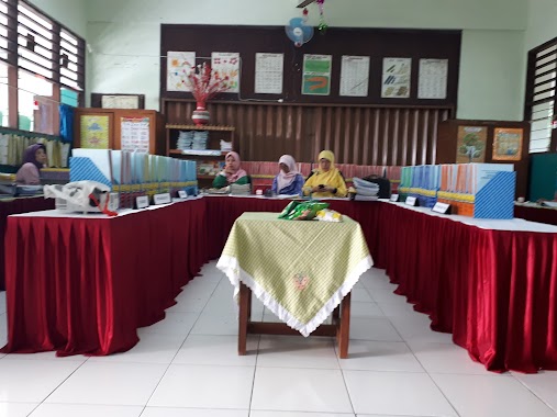
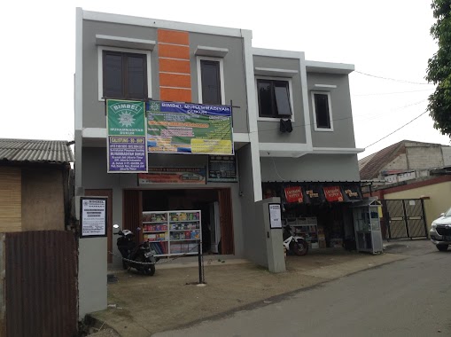
Bimbel Muhammadiyah Dukuh
Jalan Dukuh V RT.4/RW.4, Dukuh
School
read more
617 m
TK Islam Rambutan
Jalan Gudang Air RT.2/RW.2, Rambutan
School
read more
619 m
Tiki Taka Ciracas
Jalan Sadar No.54, RT.3/RW.1, Rambutan
School
read more
623 m
Bimbel Tiki Taka Kp Rambutan
Jalan Pratama Raya RT.3/RW.1, Rambutan
School
read more
679 m
Utrujah Tahfiz
Jalan Haji Zen Sarmili No.48, RT.10/RW.2, Rambutan, Ciracas, RT.10/RW.2, Rambutan
School
read more
765 m
RA/BA/TA Al Akhyar
JL. Tanah Merdeka, No.82, Pasar Rebo, 13770, RT.13/RW.5, Rambutan
School
read more
849 m
PAUD ANGGREK RW 07
Jalan Kompleks Zeni Tni RT.2/RW.7, Kampung Tengah
School
read more
863 m
RA Az Zahra Kramatjati
58, Jalan Pedati No.3, RT.7/RW.7, Kampung Tengah
School
read more
873 m
SLB Pelita Hati
Komp. Bumi Harapan Permai Blok C No. 16, RT.8/RW.6, Dukuh
School
read more
895 m
Majelis Taklim Ciracas (Gebras)
Jalan Gebras RT.11/RW.5, Rambutan
School
read more
898 m
Kancil
Jl. Centex Raya 26 Ciracas Ciracas Jakarta Timur DKI Jakarta, RT.8/RW.2, Rambutan
School
read more
901 m
Taman Kanak - Kanak (TK) As-Shofi
Jalan Said No.16, RT.3/RW.1, Rambutan
School
read more
904 m
KUMON TANAH MERDEKA CIRACAS
Jalan Tanah Merdeka No.14, RT.4/RW.4, Rambutan
School
read more
917 m
Yayasan Riadhus Shalihin Dukuh Kramat Jati
Jalan Dukuh V No.43, RT.2/RW.5, Dukuh
School
read more
938 m
SD Islam Terpadu Al Kahfi
Jl. H Muhayang 28 RT 015 %2F RW 02 Rambutan Ciracas Jakarta Timur DKI Jakarta, RT.11/RW.5, Rambutan
School
read more
938 m
SD Negeri Rambutan 4
Jalan TB Simatupang No.71, RT.11/RW.5, Rambutan
School
read more
971 m
Kopdar Persaudaraan Setia Hati Terate
3, RW.3, Pinang Ranti
School
read more
📑
all categories
Accounting
Administrative area level 1
Administrative area level 2
Airport
Amusement park
Aquarium
Art gallery
Atm
Bakery
Bank
Bar
Beauty salon
Bicycle store
Book store
Bowling alley
Bus station
Cafe
Campground
Car dealer
Car rental
Car repair
Car wash
Casino
Cemetery
Church
City hall
Clothing store
Colloquial area
Convenience store
Courthouse
Dentist
Department store
Doctor
Electrician
Electronics store
Embassy
Finance
Fire station
Florist
Food
Funeral home
Furniture store
Gas station
General contractor
Grocery or supermarket
Gym
Hair care
Hardware store
Health
Hindu Temple
Home goods store
Hospital
Insurance agency
Intersection
Jewelry store
Laundry
Lawyer
Library
Liquor store
Local government office
Locality
Locksmith
Lodging
Meal delivery
Meal takeaway
Mosque
Movie rental
Movie theater
Moving company
Museum
Natural feature
Neighborhood
Night club
Painter
Park
Parking
Pet store
Pharmacy
Physiotherapist
Place of worship
Plumber
Point of interest
Police
Political
Post office
Premise
Real estate agency
Restaurant
Roofing contractor
Route
Rv park, camping
School
Shoe store
Shopping mall
Spa
Stadium
Storage
Store
Subpremise
Supermarket
Synagogue
Taxi stand
Train station
Transit station
Travel agency
University
Veterinary care
Zoo
administrative area level 3
administrative area level 4
administrative area level 5
sublocality level 1
↑