School nearby SD N 1,2 & 3 POKA
Coronavirus disease (COVID-19) Situation
confirmed cases
6829221
deaths
162063
Indonesia
School nearby SD N 1,2 & 3 POKA
SD N 1,2 & 3 POKA
Poka Indonesia
contacts phone
:
+62
Latitude:
-3.6492017
, Longitude:
128.1927738
read more
nearest School
373 m
Sekretariat Ikatan Masyarakat Nelayan
Poka
School
read more
435 m
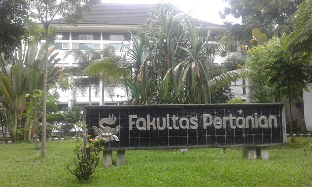
Fakultas Pertanian Universitas Pattimura
Poka
School
read more
463 m
Mapala Kewang Unpatti
Poka
School
read more
463 m
Kewang Universitas Pattimura
Poka
School
read more
530 m
Upt Tik
Poka
School
read more
564 m
FKIP Pend. Biologi
UNIVERSITAS PATTIMURA, Poka
School
read more
633 m
Warung Prancis UNPATTI
Jalan Ir. Muhammad Putuhena, Poka
School
read more
693 m
SMA Negeri 3 Ambon
Rumah Tiga
School
read more
702 m
Bagian Kemahasiswaan Universitas Pattimura
Poka
School
read more
722 m
Lab. Fisika Zat Padat FMIPA Unpatti
Poka
School
read more
723 m
Sekretariat HIMAPTIKA IAIN Ambon
IAIN, Rumah Tiga
School
read more
723 m
Jesirah Leihitu
Tlk., Rumah Tiga
School
read more
723 m
STAKPN
Unnamed Road, Tlk., Rumah Tiga
School
read more
723 m
SMP Negeri 2 Ambon
Rumah Tiga
School
read more
767 m
Prodi Pendidikan Bahasa Indonesia
Rumah Tiga
School
read more
805 m
Tihu Poka
Tihu
School
read more
836 m
SD Inpress 44 Batu Koneng
Jalan Y. Syaranamual, Poka
School
read more
970 m
TK Idatha
Tlk., Rumah Tiga
School
read more
1.063 km
SD Negeri 1 Rumahtiga
Tlk., Rumah Tiga
School
read more
1.205 km
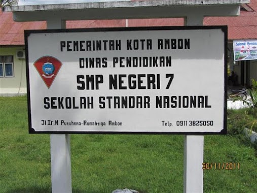
SMP Negeri 7 Ambon
Jalan Ir. Muhammad Putuhena, Rumah Tiga, Teluk Ambon, Rumah Tiga
School
read more
1.278 km
SD negeri 4 Rumah Tiga
Rumah Tiga
School
read more
1.707 km
Akademik Poltek Ambon
Rumah Tiga
School
read more
2.026 km
SD NEGERI 2 GALALA
Galala
School
read more
2.208 km
mts.alkhairat
Jalan Ir. Muhammad Putuhena, Waiyame
School
read more
2.626 km
STAKPN Ambon
Unnamed Rd,, Halong
School
read more
📑
all categories
Accounting
Administrative area level 1
Administrative area level 2
Airport
Amusement park
Aquarium
Art gallery
Atm
Bakery
Bank
Bar
Beauty salon
Bicycle store
Book store
Bowling alley
Bus station
Cafe
Campground
Car dealer
Car rental
Car repair
Car wash
Casino
Cemetery
Church
City hall
Clothing store
Colloquial area
Convenience store
Courthouse
Dentist
Department store
Doctor
Electrician
Electronics store
Embassy
Finance
Fire station
Florist
Food
Funeral home
Furniture store
Gas station
General contractor
Grocery or supermarket
Gym
Hair care
Hardware store
Health
Hindu Temple
Home goods store
Hospital
Insurance agency
Intersection
Jewelry store
Laundry
Lawyer
Library
Liquor store
Local government office
Locality
Locksmith
Lodging
Meal delivery
Meal takeaway
Mosque
Movie rental
Movie theater
Moving company
Museum
Natural feature
Neighborhood
Night club
Painter
Park
Parking
Pet store
Pharmacy
Physiotherapist
Place of worship
Plumber
Point of interest
Police
Political
Post office
Premise
Real estate agency
Restaurant
Roofing contractor
Route
Rv park, camping
School
Shoe store
Shopping mall
Spa
Stadium
Storage
Store
Subpremise
Supermarket
Synagogue
Taxi stand
Train station
Transit station
Travel agency
University
Veterinary care
Zoo
administrative area level 3
administrative area level 4
administrative area level 5
sublocality level 1
↑