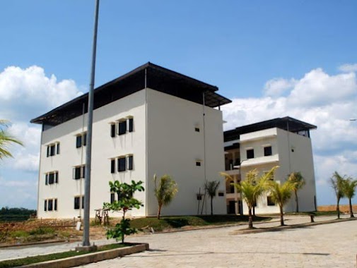
School nearby Pondok Pesantren Al-Istiqomah
Indonesia
School nearby Pondok Pesantren Al-Istiqomah
Pondok Pesantren Al-Istiqomah
Kampung kuripan Rt 08/01 desa, Kuripan, Ciseeng, Bogor, Jawa Barat 16120, Indonesia
contacts phone
:
+62 857-7873-7315
Latitude:
-6.4161679
, Longitude:
106.6590564
larger map & directions
read more
nearest School
497 m
SDN Kuripan 01
Jalan Amd Kuripan, Kuripan
School
read more
1.02 km
PAUD AZ-ZAHRA
Kampung Kuripan RT 06 RW 02, Kuripan
School
read more
1.103 km
PONDOK PESANTREN AZ ZIKRA CIBADUNG GUNUNG SINDUR
Komplek Masjid Az Zikra, Cibadung, Gunung Sindur, Jampang
School
read more
1.266 km
Paud Azzahra
Jalan Amd Kuripan, Kuripan
School
read more
1.382 km
Sekolah Alam
Kuripan
School
read more
1.581 km
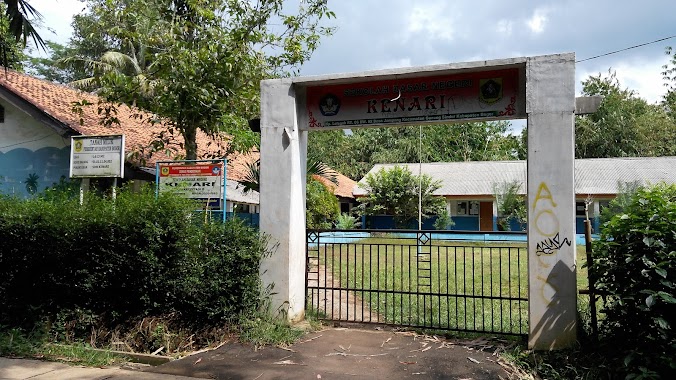
SD Negeri Kenari
Jampang
School
read more
1.589 km
majlis ta`lim Khoirul hasanah
Jalan Jampang, Sukasari
School
read more
1.668 km
SDN Bukit Calincing
Kuripan
School
read more
1.707 km
SDN Jampang 02
Cibadung
School
read more
1.708 km
majlis Mathaul Anwar
Jl. Raya PT Conblok Indonesia, Sukasari
School
read more
1.812 km
PON-PES CIPUNTANG
Jl. AMD-Kuripan, Ds. Kuripan, Kec. Ciseeng, Kuripan
School
read more
1.822 km
SMPN 2 Ciseeng
Kuripan, Bogor
School
read more
1.842 km
Yayasan Pendidikan Islam Nurul Hidayah
Jampang
School
read more
1.85 km
MTs. NURUL HIDAYAH GUNUNGSINDUR
Jampang
School
read more
1.862 km
Sdn Sukasari 01
Sukasari
School
read more
1.885 km
Kelompok Bermain Bina Trampil
Sukasari
School
read more
1.94 km
SDN Jampang 01
Jalan Jampang, Jampang
School
read more
1.981 km
SDN Sukasari 02
Jalan Prajurit Neneng, Sukasari
School
read more
1.988 km
Sdn Sukasari Rumpin Bogor
Sukasari
School
read more
2.123 km
SDN TAMANSARI 05
Taman Sari
School
read more
2.278 km
Sd Cihoe 5
Jalan Setapak, Cihoe
School
read more
2.383 km
Madrasah Nurul Falah
Unnamed Road, Rumpin
School
read more
2.623 km
Kelompok Bermain Al-Mubtadi
Kampung Parakanomas, Taman Sari, Rumpin, Taman Sari
School
read more
3.449 km
BDK Rumpin Bogor
Rumpin
School
read more
3.474 km
SMAN 1 Rumpin
Rumpin
School
read more
📑
all categories
Accounting
Administrative area level 1
Administrative area level 2
Airport
Amusement park
Aquarium
Art gallery
Atm
Bakery
Bank
Bar
Beauty salon
Bicycle store
Book store
Bowling alley
Bus station
Cafe
Campground
Car dealer
Car rental
Car repair
Car wash
Casino
Cemetery
Church
City hall
Clothing store
Colloquial area
Convenience store
Courthouse
Dentist
Department store
Doctor
Electrician
Electronics store
Embassy
Finance
Fire station
Florist
Food
Funeral home
Furniture store
Gas station
General contractor
Grocery or supermarket
Gym
Hair care
Hardware store
Health
Hindu Temple
Home goods store
Hospital
Insurance agency
Intersection
Jewelry store
Laundry
Lawyer
Library
Liquor store
Local government office
Locality
Locksmith
Lodging
Meal delivery
Meal takeaway
Mosque
Movie rental
Movie theater
Moving company
Museum
Natural feature
Neighborhood
Night club
Painter
Park
Parking
Pet store
Pharmacy
Physiotherapist
Place of worship
Plumber
Point of interest
Police
Political
Post office
Premise
Real estate agency
Restaurant
Roofing contractor
Route
Rv park, camping
School
Shoe store
Shopping mall
Spa
Stadium
Storage
Store
Subpremise
Supermarket
Synagogue
Taxi stand
Train station
Transit station
Travel agency
University
Veterinary care
Zoo
administrative area level 3
administrative area level 4
administrative area level 5
sublocality level 1
↑