Park nearby Arcadia playgound blok G1
Coronavirus disease (COVID-19) Situation
confirmed cases
6829221
deaths
162063
Indonesia
Park nearby Arcadia playgound blok G1
Arcadia playgound blok G1
Jalan Arcadia, Bojong Nangka Indonesia
contacts phone
:
+62
Latitude:
-6.4245545
, Longitude:
106.9093118
read more
nearest Park
Arcadia playgound blok G1
Jalan Arcadia Raya, Bojong Nangka
Park
read more
978 m
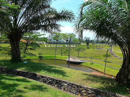
Lagoon Park riverside Golf
Bojong Nangka
Park
read more
1.017 km
Riverside Plantation Indonesia
Jalan Wanaherang Cikuda, Bojong Nangka
Park
read more
1.104 km
Perumahaan GRAHA ALAM Cigorowong RT 01/01
Jl Kp Cicadas No.10, Tlajung Udik
Park
read more
1.383 km
Area Hijau Leuwinanggung
Leuwinanggung
Park
read more
1.731 km
Rawa Siradayah
Tlajung Udik
Park
read more
1.851 km
Taman Tesapan Pt. Corinthian
Cicadas
Park
read more
1.993 km
TAMAN FACTORY B
Cicadas
Park
read more
2.098 km
Lapangan Cabe Hitam Bc
Cikeas Udik
Park
read more
2.402 km
Taman Arcadia Mediterania
Indonezja
Park
read more
2.402 km
Taman Arcadia Mediterania
Indonesia
Park
read more
2.429 km
taman rasya garden
Leuwinanggung
Park
read more
3.144 km
Pt.trisindo
Karanggan
Park
read more
3.151 km
Multifunction Puslat Field Police
Jalan Cikeas, Cikeas Udik
Park
read more
3.254 km
Pemancingan Chikal
Rt.02 Rw.04,, Tapos
Park
read more
3.464 km
Taman Rosewood
Jalan Rosewood Garden 1, Jatikarya
Park
read more
3.623 km
Lapak LKBC Cikeas
Cikeas Udik
Park
read more
3.729 km
Perum Ratu Cimanggis 3
Jalan Bhakti Abri, Sukamaju Baru
Park
read more
3.839 km
Sukatani Park / Taman Sukatani
Jalan Apel 1, Sukatani
Park
read more
3.948 km
Lapangan Idjon Djanbi
lapangan Idjon djanbi,, Sukatani
Park
read more
4.911 km
Taman Barowo Asri
Sukamaju Baru
Park
read more
5.025 km
Amarta Residence Cibubur
Harjamukti
Park
read more
5.103 km
Kantor GoCitraGrand
No., Jalan Alternatif Cibubur No.21, Jatisampurna
Park
read more
5.137 km
Taman Pojok Jamrud
Cilangkap
Park
read more
5.185 km
Taman Kotak Jamrud
Cimpaeun
Park
read more
📑
all categories
Accounting
Administrative area level 1
Administrative area level 2
Airport
Amusement park
Aquarium
Art gallery
Atm
Bakery
Bank
Bar
Beauty salon
Bicycle store
Book store
Bowling alley
Bus station
Cafe
Campground
Car dealer
Car rental
Car repair
Car wash
Casino
Cemetery
Church
City hall
Clothing store
Colloquial area
Convenience store
Courthouse
Dentist
Department store
Doctor
Electrician
Electronics store
Embassy
Finance
Fire station
Florist
Food
Funeral home
Furniture store
Gas station
General contractor
Grocery or supermarket
Gym
Hair care
Hardware store
Health
Hindu Temple
Home goods store
Hospital
Insurance agency
Intersection
Jewelry store
Laundry
Lawyer
Library
Liquor store
Local government office
Locality
Locksmith
Lodging
Meal delivery
Meal takeaway
Mosque
Movie rental
Movie theater
Moving company
Museum
Natural feature
Neighborhood
Night club
Painter
Park
Parking
Pet store
Pharmacy
Physiotherapist
Place of worship
Plumber
Point of interest
Police
Political
Post office
Premise
Real estate agency
Restaurant
Roofing contractor
Route
Rv park, camping
School
Shoe store
Shopping mall
Spa
Stadium
Storage
Store
Subpremise
Supermarket
Synagogue
Taxi stand
Train station
Transit station
Travel agency
University
Veterinary care
Zoo
administrative area level 3
administrative area level 4
administrative area level 5
sublocality level 1
↑