Mosque nearby Mushola Baitussalam
Coronavirus disease (COVID-19) Situation
confirmed cases
6829221
deaths
162063
Indonesia
Mosque nearby Mushola Baitussalam
Mushola Baitussalam
Jalan Kincir Air Pondok Manggis No.28, Bojong Baru Indonesia
contacts phone
:
+62
Latitude:
-6.4725448
, Longitude:
106.8091921
read more
nearest Mosque
48 m
masjid baiturrahman pondok manggis
Jalan Kincir Air Pondok Manggis, Bojong Baru
Mosque
read more
256 m
Masjid Al-Mansyuriah
Kp. Pondok Manggis RT 003 RW 01 Baru, Bojong, Bojong Baru
Mosque
read more
332 m
Mushola AR RAHMAN
Jalan Tanjung I Blok H4 No.7, Bojong Baru
Mosque
read more
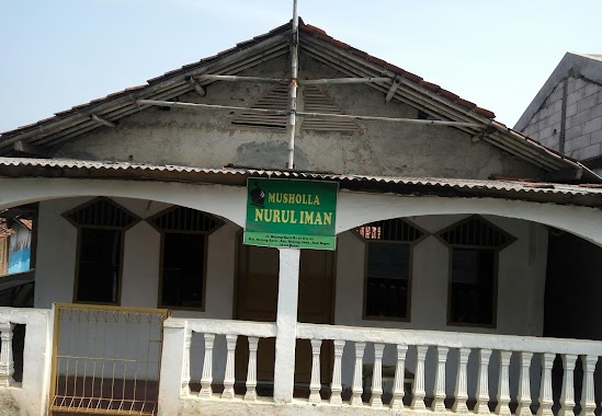
346 m
Musholla Nurul Iman
kp. pondok manggis jl. bojong baru Rt 01 Rw 02, Bojong Baru
Mosque
read more
363 m
Masjid LDII Kincir
Bojong Baru
Mosque
read more
419 m
masjid darunnida
Bojong Baru
Mosque
read more
423 m
Mushola Ar- Raudhah
Kp. Pondok Manggis No.Rt02/03, Bojong Baru
Mosque
read more
423 m
Musholla Ar Raudhah
Kp. pondok manggis No.rt02/03, Bojong Baru
Mosque
read more
432 m
Jami 'Annur
Perum Gardenia Residence Citayam Desa Kecamatan Bojonggede, Jalan Raya Bojong Gede, Rawa Panjang
Mosque
read more
461 m
Roudhotul Jannah Mosque
Rawa Panjang
Mosque
read more
480 m
Masjid Al-Falah
Jalan Kincir Air No.9, Bojong Baru
Mosque
read more
546 m
Musholla AR Raudhah
Kp. Pondok Manggis, Bojong Baru
Mosque
read more
631 m
Masjid Hidayatullah
Jl. Perum Delapan Blok, G Blok G No.1, Bojong Baru
Mosque
read more
642 m
Masjid Nurul Hidayah
Jalan Komplek Perdagangan, Bojong Baru
Mosque
read more
667 m
Musholla Al 'Amin
Jalan Kp. Pondok Manggis RT.001/RW.01, Bojong Baru
Mosque
read more
740 m
Masjid Darussalam
Rawa Panjang
Mosque
read more
790 m
Mushalla Al Hidayah
Gg H. Abdul Hamid, Bojong Baru
Mosque
read more
812 m
Musolah Al Hidayah
kp.pondok manggis rt.03/03, Bojong Baru
Mosque
read more
874 m
Masjid Al-Abror
Kp.Pondok manggis RT 01/04 Kec.Bojonggede, Bojong Baru
Mosque
read more
883 m
Masjid Nurul Huda Warung Jambu
Blok Warung Jambu, Jalan Haji Ridwan Blok Warung Jambu No.14, Pabuaran
Mosque
read more
989 m
masjid at-taqwa
Sukahati
Mosque
read more
1.122 km
Musshola Baiturrahman
No.,, Jalan Raya Pabuaran No.29, Pabuaran
Mosque
read more
1.122 km
Masjid At - Taqwa
Jalan Raya Bojong Gede, Kp. Bambu Kuning, Bojong Baru
Mosque
read more
1.139 km
Mushola Nurul Ain Parko
Pabuaran
Mosque
read more
1.179 km
Masjid Addaulah
Jalan Sayaga III No.15, Sukahati
Mosque
read more
📑
all categories
Accounting
Administrative area level 1
Administrative area level 2
Airport
Amusement park
Aquarium
Art gallery
Atm
Bakery
Bank
Bar
Beauty salon
Bicycle store
Book store
Bowling alley
Bus station
Cafe
Campground
Car dealer
Car rental
Car repair
Car wash
Casino
Cemetery
Church
City hall
Clothing store
Colloquial area
Convenience store
Courthouse
Dentist
Department store
Doctor
Electrician
Electronics store
Embassy
Finance
Fire station
Florist
Food
Funeral home
Furniture store
Gas station
General contractor
Grocery or supermarket
Gym
Hair care
Hardware store
Health
Hindu Temple
Home goods store
Hospital
Insurance agency
Intersection
Jewelry store
Laundry
Lawyer
Library
Liquor store
Local government office
Locality
Locksmith
Lodging
Meal delivery
Meal takeaway
Mosque
Movie rental
Movie theater
Moving company
Museum
Natural feature
Neighborhood
Night club
Painter
Park
Parking
Pet store
Pharmacy
Physiotherapist
Place of worship
Plumber
Point of interest
Police
Political
Post office
Premise
Real estate agency
Restaurant
Roofing contractor
Route
Rv park, camping
School
Shoe store
Shopping mall
Spa
Stadium
Storage
Store
Subpremise
Supermarket
Synagogue
Taxi stand
Train station
Transit station
Travel agency
University
Veterinary care
Zoo
administrative area level 3
administrative area level 4
administrative area level 5
sublocality level 1
↑