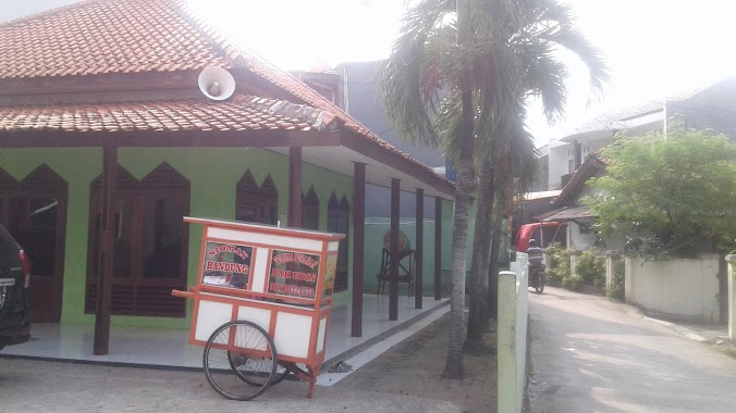
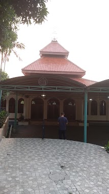
Mosque nearby Mushola Al Ma'muriyah
Indonesia
Mosque nearby Mushola Al Ma'muriyah
Mushola Al Ma'muriyah
No. 1, Jalan Adiaksa II, 12440, Kota Jakarta Selatan, Daerah Khusus Ibukota Jakarta, ID Indonesia
contacts phone
:
+62
Latitude:
-6.2927199
, Longitude:
106.7809594
larger map & directions
read more
nearest Mosque
260 m
Mushola An-Nur
RT.8/RW.7, Lebak Bulus
Mosque
read more
388 m
Mushola Siloam Hospitals
Jalan R.A.Kartini No.9, RT.10/RW.4, Cilandak Barat
Mosque
read more
396 m
Masjid Jami Al-Ikhsan
Gg. Masjid RT.1/RW.1, Lebak Bulus
Mosque
read more
420 m
Masjid Jami Al 'Adil
Jalan Adhyaksa VII No.5, RT.3/RW.5, Lebak Bulus
Mosque
read more
422 m
Masjid Al Ihsan
Jl. Kayu Manis Raya RT 003 RW 07 Lebak Bulus Cilandak Jakarta Selatan DKI Jakarta, RT.1/RW.1, Lebak Bulus
Mosque
read more
464 m
Masjid south Quarter Basement 1
12430, RT.10/RW.4, Cilandak Barat
Mosque
read more
525 m
Masjid At-taqwa
Jalan Kavling Lestari I RT.IV/RW.7, Lebak Bulus
Mosque
read more
626 m
Masjid Darun Ni'mah
Jalan Taman Lebak Bulus IV No.3, Lebak Bulus
Mosque
read more
636 m
Masjid Jami' An Ni'mah
Jalan Lebak Indah 1 No.42, RT.10/RW.7, Lebak Bulus
Mosque
read more
669 m
Musholla Baiturrahman
Jl. Delman Elok II Bl A%2F45 RT 004 %2F RW 11 Lebak Bulus Cilandak Jakarta Selatan DKI Jakarta, RT.3, Lebak Bulus
Mosque
read more
791 m
Masjid Asy Syam
Carrefour, Jalan R.A.Kartini No.8, RT.1/RW.10, Lebak Bulus
Mosque
read more
807 m
Masjid Al Munawarah
JL. Arrahman, RT.16/RW.6, Cilandak Barat
Mosque
read more
883 m
Masjid Baitunnur
Jalan Lebak Bulus I No.63, RT.2/RW.4, Cilandak Barat
Mosque
read more
885 m
Masjid Al Falah Taman Bona Indah
Blok A No., Jalan Bona Permai X Blok B. 10 No.7, RT.7/RW.6, Lebak Bulus
Mosque
read more
907 m
Masjid Jami'Al Barkah
Jalan Karang Tengah Raya No.1, RT.4/RW.4, Lebak Bulus
Mosque
read more
937 m
Masjid Nurul Hikmah
JL Lebak Bulus, 5 RT 14 RW 04, RT.1/RW.7, Lebak Bulus
Mosque
read more
973 m
Masjid RSPI
Jalan Sekolah Duta VI No.43, RT.4/RW.14, Pondok Pinang
Mosque
read more
982 m
Mushola Al-Istiqomah/H.Mahadi, Pondok Pinang
RT.11/RW.2, No. 75, RT.3/RW.2, Pondok Pinang
Mosque
read more
998 m
Masjid Sholat Jumat - RS. Pondok Indah
Jalan Sekolah Duta VI No.39, RT.4/RW.14, Pondok Pinang
Mosque
read more
1000 m
Mesjid Al Hikmah, Komp. PU
Jalan Haryono Raya No.1, RT.10/RW.10, Pondok Pinang
Mosque
read more
1000 m
Masjid Al-Hikmah
Mesjid, Jalan R.A.Kartini RT.9/RW.10, Pondok Pinang
Mosque
read more
1.011 km
Masjid Assa'dah
Jalan Lebak Bulus RT.7/RW.2, Lebak Bulus
Mosque
read more
1.018 km
Masjid Jami' Ar Rahman Terogong
Jalan KH. Muhasyim VII RT.13/RW.6, Cilandak Barat
Mosque
read more
1.046 km
Musholla Babul Khoeirot
Jalan Lebak Bulus V No.26-23, Cilandak Barat
Mosque
read more
1.177 km
Al khoriyah
Jalan Madrasah Al-Husna No.6, RT.2/RW.4, Lebak Bulus
Mosque
read more
📑
all categories
Accounting
Administrative area level 1
Administrative area level 2
Airport
Amusement park
Aquarium
Art gallery
Atm
Bakery
Bank
Bar
Beauty salon
Bicycle store
Book store
Bowling alley
Bus station
Cafe
Campground
Car dealer
Car rental
Car repair
Car wash
Casino
Cemetery
Church
City hall
Clothing store
Colloquial area
Convenience store
Courthouse
Dentist
Department store
Doctor
Electrician
Electronics store
Embassy
Finance
Fire station
Florist
Food
Funeral home
Furniture store
Gas station
General contractor
Grocery or supermarket
Gym
Hair care
Hardware store
Health
Hindu Temple
Home goods store
Hospital
Insurance agency
Intersection
Jewelry store
Laundry
Lawyer
Library
Liquor store
Local government office
Locality
Locksmith
Lodging
Meal delivery
Meal takeaway
Mosque
Movie rental
Movie theater
Moving company
Museum
Natural feature
Neighborhood
Night club
Painter
Park
Parking
Pet store
Pharmacy
Physiotherapist
Place of worship
Plumber
Point of interest
Police
Political
Post office
Premise
Real estate agency
Restaurant
Roofing contractor
Route
Rv park, camping
School
Shoe store
Shopping mall
Spa
Stadium
Storage
Store
Subpremise
Supermarket
Synagogue
Taxi stand
Train station
Transit station
Travel agency
University
Veterinary care
Zoo
administrative area level 3
administrative area level 4
administrative area level 5
sublocality level 1
↑