Mosque nearby Masjid Jami Al Muhajirin
Indonesia
Mosque nearby Masjid Jami Al Muhajirin
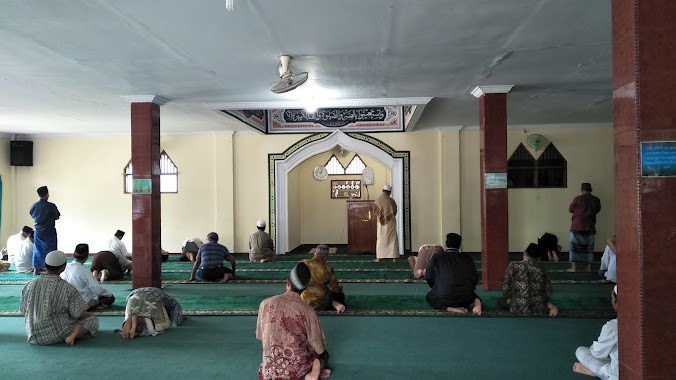
Masjid Jami Al Muhajirin
Jalan Masjid 1, Cinere Indonesia
contacts phone
:
+62
Latitude:
-6.3368371
, Longitude:
106.783055
read more
nearest Mosque
292 m
Mushola AR-RAHMAH
Jalan Haji Jaeran No.32, Cinere
Mosque
read more
572 m
Musholah Asmaniah
Jalan Ehave No.18, Gandul
Mosque
read more
590 m
Masjid Al - Latief PCR
Pesona Cinere Residence, Parung Bingung, Gandul
Mosque
read more
606 m
Grand Mosque Cinere
Jalan Flamboyan No.4, Cinere
Mosque
read more
648 m
Masjid Husnul Khatimah
Komplek Blok M Mega Cinere, JL. Lamongan, Kav. 831, Cinere
Mosque
read more
655 m
Masjid Baitul Ihsan
JL. PLN, No. 60, Rt. 023/ 05, Gandul, 16512, Gandul
Mosque
read more
670 m
Masjid Khusnul Khatimah
Jalan Dili, Cinere
Mosque
read more
684 m
Mushola Ar Rahman
Jalan Pln No.27, Gandul
Mosque
read more
810 m
Mushola Al-Ikhwan, Damai Itu Indah
Gandul
Mosque
read more
825 m
Musholla Al-Azhar
Jalan Musholla 1 No.13, Gandul
Mosque
read more
870 m
Masjid Nurul Hikmah
Jalan Damai No.120, Gandul
Mosque
read more
885 m
Masjid Raya Cinere
Jalan Kaca Piring No.53, Cinere
Mosque
read more
941 m
Masjid Jami Al Jihad
Jalan Ismaya No.26, Cinere
Mosque
read more
944 m
Masjid Jami Al-Mukhlishin
Jalan Cendana, Cinere
Mosque
read more
1.056 km
Musholla Nurul Jihad
Jalan Sawo III, Gandul
Mosque
read more
1.341 km
Mushola SPBU
Jalan Raya Gandul No.4a, Gandul
Mosque
read more
1.349 km
Masjid An Nur
Jalan Raya Gandul No.20, RT.2, Gandul
Mosque
read more
1.38 km
At-Taqwa Mushalla
Jalan Musholla At-Taqwa, Gandul
Mosque
read more
1.789 km
Masjid Al Muhajirin
JL. Pondok Cabe Ilir, RW 10, Pamulang, Pondok Cabe Ilir
Mosque
read more
1.79 km
Masjid Al Jihad
JL. Cabe Ilir VI, Pamulang, Pondok Cabe Udik
Mosque
read more
1.863 km
Masjid Al Muhajirin
Jalan Cinere Raya No.69, RT.2, Limo
Mosque
read more
2.006 km
Masjid Nurul Iman
RT.9/RW.6, Ciganjur
Mosque
read more
2.046 km
Masjid Jami' Nurul Yaqin
Jalan Pondok Cabe Raya No.50, Pondok Cabe Ilir
Mosque
read more
2.287 km
Nurul Islam Mosque
Jalan Pangkalan Jati 2, Pangkalan Jati
Mosque
read more
2.524 km
Masjid Al-Ihsan
Jalan Cirendeu Raya, Pisangan
Mosque
read more
📑
all categories
Accounting
Administrative area level 1
Administrative area level 2
Airport
Amusement park
Aquarium
Art gallery
Atm
Bakery
Bank
Bar
Beauty salon
Bicycle store
Book store
Bowling alley
Bus station
Cafe
Campground
Car dealer
Car rental
Car repair
Car wash
Casino
Cemetery
Church
City hall
Clothing store
Colloquial area
Convenience store
Courthouse
Dentist
Department store
Doctor
Electrician
Electronics store
Embassy
Finance
Fire station
Florist
Food
Funeral home
Furniture store
Gas station
General contractor
Grocery or supermarket
Gym
Hair care
Hardware store
Health
Hindu Temple
Home goods store
Hospital
Insurance agency
Intersection
Jewelry store
Laundry
Lawyer
Library
Liquor store
Local government office
Locality
Locksmith
Lodging
Meal delivery
Meal takeaway
Mosque
Movie rental
Movie theater
Moving company
Museum
Natural feature
Neighborhood
Night club
Painter
Park
Parking
Pet store
Pharmacy
Physiotherapist
Place of worship
Plumber
Point of interest
Police
Political
Post office
Premise
Real estate agency
Restaurant
Roofing contractor
Route
Rv park, camping
School
Shoe store
Shopping mall
Spa
Stadium
Storage
Store
Subpremise
Supermarket
Synagogue
Taxi stand
Train station
Transit station
Travel agency
University
Veterinary care
Zoo
administrative area level 3
administrative area level 4
administrative area level 5
sublocality level 1
↑