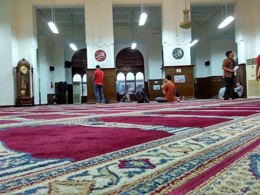
Mosque nearby Masjid Al-Hidayah
Coronavirus disease (COVID-19) Situation
confirmed cases
6829221
deaths
162063
Indonesia
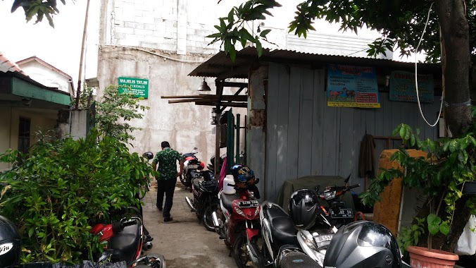
Mosque nearby Masjid Al-Hidayah
Masjid Al-Hidayah
12, Jalan Kramat Kwitang, 10420, Kota Jakarta Pusat, Daerah Khusus Ibukota Jakarta, ID Indonesia
contacts phone
:
+62
Latitude:
-6.1817125
, Longitude:
106.842051
larger map & directions
read more
nearest Mosque
48 m
Masjid Jami Al Hidayah, Kwitang Kecil Jakpus
Jalan Kramat Kwitang Kecil No.18, RT.5/RW.7, Kwitang
Mosque
read more
105 m
Masjid Nurul Falah
Jalan Kramat Raya No.72, RT.5/RW.7, Kwitang
Mosque
read more
279 m
Musholla Al Arof
Jalan Kramat Kwitang No.13
Mosque
read more
279 m
Musholla Al Arof
Jalan Kramat Kwitang No.13, RT.1/RW.4, Kwitang
Mosque
read more
331 m
Masjid Al Karomah
Unnamed Road, Kramat
Mosque
read more
454 m
Masjid Alia Kwitang
Central Jakarta, RT.1/RW.5
Mosque
read more
483 m
Masjid Jami Ashulaha
Jalan Kramat Pulo Gang 5 No.78, RT.7/RW.3, Kramat
Mosque
read more
587 m
Masjid Al Muhajirin Plasa Atrium Senen
Jalan Kwini No.46-48, RW.2, Senen
Mosque
read more
619 m
Masjid Al-Riyadh Kwitang
Jalan Kembang VI No.4A, RT.1/RW.2, Kwitang
Mosque
read more
729 m
Depan Mushola St. Pasar Senen
RW.3, RW.3
Mosque
read more
767 m
Musholla
Jalan Letjen Suprapto No.32, RW.3, Bungur
Mosque
read more
825 m
Masjid Yamp - Senen
RSPAD, JL. Abdul Rahman Saleh, No. 24, Senen Senen, RT.10/RW.5, Senen
Mosque
read more
825 m
Masjid AsySyifa
Jalan Abdul Rahman Saleh No. 24, RT.6 / RW.1, Senen, RT.6/RW.1, Senen
Mosque
read more
838 m
Masjid AL-Falah Tanah Tinggi
Jalan Tanah Tinggi XII RT.18/RW.7, Tanah Tinggi
Mosque
read more
886 m
Masjid At-Taufiq
Jalan Stasiun Senen RW.3, RW.3
Mosque
read more
942 m
Masjid Al-Muthmainnah
Jalan Arimbi RT.17/RW.8, Tanah Tinggi
Mosque
read more
950 m
Masjid Nurul Falah
Jalan Pln I, Gambir
Mosque
read more
1.03 km
Masjid Nurul Hidayah
JL. Baladewa Kiri, RT 02 RW 01, RT.2/RW.4, Tanah Tinggi
Mosque
read more
1.047 km
MASJID AL HUDA
Jalan Pejambon III No.11, RT.4/RW.1, Gambir
Mosque
read more
1.083 km
Masjid Al-firdaus
Jl Kali Baru Tim 4A No.205, RT.10/RW.5, Bungur
Mosque
read more
1.102 km
Musala At-Tauhid
Gg. Moh Ali IV No.dalam, RT.011/RW.4, Tanah Tinggi
Mosque
read more
1.104 km
Mushollah Nurul Fikri
Jalan Kramat Sentiong No.48, RT.10/RW.7, Kramat
Mosque
read more
1.15 km
Masjid Cut Meutia
Indonezja
Mosque
read more
1.15 km
Masjid Cut Meutia
Indonesia
Mosque
read more
1.212 km
Mushola Baiturrahim (H.Rais)
Jalan Kramat Lontar 6 Blok J No.136, RT.7/RW.1, Paseban
Mosque
read more
📑
all categories
Accounting
Administrative area level 1
Administrative area level 2
Airport
Amusement park
Aquarium
Art gallery
Atm
Bakery
Bank
Bar
Beauty salon
Bicycle store
Book store
Bowling alley
Bus station
Cafe
Campground
Car dealer
Car rental
Car repair
Car wash
Casino
Cemetery
Church
City hall
Clothing store
Colloquial area
Convenience store
Courthouse
Dentist
Department store
Doctor
Electrician
Electronics store
Embassy
Finance
Fire station
Florist
Food
Funeral home
Furniture store
Gas station
General contractor
Grocery or supermarket
Gym
Hair care
Hardware store
Health
Hindu Temple
Home goods store
Hospital
Insurance agency
Intersection
Jewelry store
Laundry
Lawyer
Library
Liquor store
Local government office
Locality
Locksmith
Lodging
Meal delivery
Meal takeaway
Mosque
Movie rental
Movie theater
Moving company
Museum
Natural feature
Neighborhood
Night club
Painter
Park
Parking
Pet store
Pharmacy
Physiotherapist
Place of worship
Plumber
Point of interest
Police
Political
Post office
Premise
Real estate agency
Restaurant
Roofing contractor
Route
Rv park, camping
School
Shoe store
Shopping mall
Spa
Stadium
Storage
Store
Subpremise
Supermarket
Synagogue
Taxi stand
Train station
Transit station
Travel agency
University
Veterinary care
Zoo
administrative area level 3
administrative area level 4
administrative area level 5
sublocality level 1
↑