Lodging nearby Wisma Diana
Coronavirus disease (COVID-19) Situation
confirmed cases
6829221
deaths
162063
Indonesia
Lodging nearby Wisma Diana
Wisma Diana
JL. Teuku Amir Hamzah Bendahara No.80, Kuta Alam Indonesia
contacts phone
:
+62
Latitude:
5.555285
, Longitude:
95.326759
read more
nearest Lodging
257 m
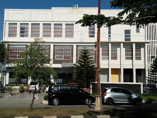
Mita Mulia Hotel
Jalan T. Nyak Arief No.7, Kopelma Darussalam
Lodging
read more
289 m
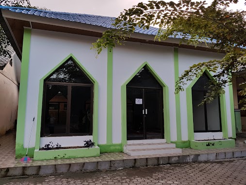
Hotel Kuta Alam
Kuta Alam
Lodging
read more
355 m
Wisma Permata
Kuta Alam
Lodging
read more
417 m
Hotel Kota Sabang
Laksana
Lodging
read more
430 m
Sentosa Guesthouse
Jalan Dharma No.23, Laksana
Lodging
read more
472 m
Wisma Dinas Pendidkan Provinsi Aceh
Kuta Alam
Lodging
read more
494 m
Hotel intan
Jalan Merpati No.33, Keuramat
Lodging
read more
580 m
Btrock
Jalan Chik Gempa, Beurawe
Lodging
read more
612 m
Kost Parno Ebi Parwadi
Sukadamai
Lodging
read more
614 m
Wisma Pringgondani
Kuta Alam
Lodging
read more
657 m
Sulthan Hotel International
Jalan Sulthan Hotel No.1, Peunayong, Peunayong
Lodging
read more
675 m
Asrama Subulussalam
Beurawe
Lodging
read more
675 m
Asrama Aceh Tenggara
Beurawe
Lodging
read more
722 m
Hotel Aceh Barat
Jl. Chairil Anwar,, Peunayong
Lodging
read more
809 m
Griya Indah Pratama Hostel
JL. Taman Makam Pahlawan II No.2
Lodging
read more
831 m
Grand Aceh Hotel I
Jalan Teuku Muhammad Hasan, Sukadamai
Lodging
read more
845 m
Wisma Sari
JL. T. Panglima Polem, No. 1, Laksana
Lodging
read more
917 m
Hotel Prapat
Peunayong
Lodging
read more
929 m
Pasifik Losmen
JL. Jend. Ahmad Yani, No. 22 - 24, Peunayong
Lodging
read more
962 m
Asrama Mahasiswa Aceh Tenggara
Jalan Banda I, Beurawe
Lodging
read more
971 m
Internasional Hotel
JL. Jend A Yani No.19, Peunayong
Lodging
read more
1.009 km
Wisma Sabita
Jalan Sultan Hotel No.41
Lodging
read more
1.02 km
Zelsy Nabila Lubi
Banda Aceh City
Lodging
read more
1.02 km
Zelsy Nabila Lubi
Peuniti
Lodging
read more
1.118 km
Heri Homestay
Mulia
Lodging
read more
📑
all categories
Accounting
Administrative area level 1
Administrative area level 2
Airport
Amusement park
Aquarium
Art gallery
Atm
Bakery
Bank
Bar
Beauty salon
Bicycle store
Book store
Bowling alley
Bus station
Cafe
Campground
Car dealer
Car rental
Car repair
Car wash
Casino
Cemetery
Church
City hall
Clothing store
Colloquial area
Convenience store
Courthouse
Dentist
Department store
Doctor
Electrician
Electronics store
Embassy
Finance
Fire station
Florist
Food
Funeral home
Furniture store
Gas station
General contractor
Grocery or supermarket
Gym
Hair care
Hardware store
Health
Hindu Temple
Home goods store
Hospital
Insurance agency
Intersection
Jewelry store
Laundry
Lawyer
Library
Liquor store
Local government office
Locality
Locksmith
Lodging
Meal delivery
Meal takeaway
Mosque
Movie rental
Movie theater
Moving company
Museum
Natural feature
Neighborhood
Night club
Painter
Park
Parking
Pet store
Pharmacy
Physiotherapist
Place of worship
Plumber
Point of interest
Police
Political
Post office
Premise
Real estate agency
Restaurant
Roofing contractor
Route
Rv park, camping
School
Shoe store
Shopping mall
Spa
Stadium
Storage
Store
Subpremise
Supermarket
Synagogue
Taxi stand
Train station
Transit station
Travel agency
University
Veterinary care
Zoo
administrative area level 3
administrative area level 4
administrative area level 5
sublocality level 1
↑