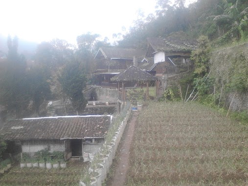
Lodging nearby D1O Serbaguna Gedung
Indonesia
Lodging nearby D1O Serbaguna Gedung
D1O Serbaguna Gedung
Unnamed Road, Jampang Indonesia
contacts phone
:
+62
Latitude:
-6.4079164
, Longitude:
106.6617047
read more
nearest Lodging
682 m
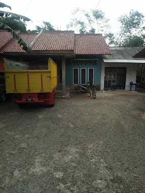
Hotel muslim az-zikra sentul city. Bogor
Bukit az-zikra swnful city Lantai 3, Jampang
Lodging
read more
718 m
Apartemen Grand Lucky
Jampang
Lodging
read more
754 m
VILLA WIDELA
Jl.Pasir Luhur, Jalan Kampung Babakan, Jampang
Lodging
read more
1.125 km
Gunung Sindur Papi
Unnamed Road, Jampang, Gn. Sindur, Jampang
Lodging
read more
1.409 km
Sandra Talaga Hotel
Unnamed Road
Lodging
read more
1.416 km
Grand Cibadumg Permai
Cibadung
Lodging
read more
1.729 km
Samasta Ciseeng
Kuripan
Lodging
read more
2.073 km
Villa Keluarga Cemara
Unnamed Road, Sukasari
Lodging
read more
2.129 km
Pondok Rumpin
Sukasari
Lodging
read more
2.24 km
istana harisul umami
Taman Sari
Lodging
read more
2.38 km
Tonggeng Gacor
Lodging
read more
2.397 km
Hotel Opet Indah
Jalan Prajurit Neneng, Sukasari
Lodging
read more
2.812 km
Penginapan Stavolt Gede
Sukasari
Lodging
read more
2.853 km
Villa Super User
Unnamed Road, Sukasari
Lodging
read more
2.929 km
Kebon MADANI
Taman Sari
Lodging
read more
3.084 km
Ponpes Tamimiayah
panagan, Taman Sari
Lodging
read more
3.137 km
Maulika Villa
Cibentang
Lodging
read more
3.142 km
Bukit Melati Indah
Unnamed Road, Cihoe
Lodging
read more
3.302 km
griya indah serpong
Gunung Sindur
Lodging
read more
3.353 km
Komplek BBPMSOH blok.D 7
Jalan Pembangunan Raya, Gunung Sindur
Lodging
read more
3.362 km
Aditt Adull
Gunung Sindur
Lodging
read more
3.366 km
Sigit Jakson Home
Jalan Kampung Rawa Lengkong No.11, Cibinong
Lodging
read more
3.479 km
Tyazikraadmal
Blok J, Griya Indah Serpong P2 No.23, Cibinong
Lodging
read more
4.035 km
Posko KKN 28 UIKA
Cihoe
Lodging
read more
4.151 km
saung nurlela
Cihoe
Lodging
read more
📑
all categories
Accounting
Administrative area level 1
Administrative area level 2
Airport
Amusement park
Aquarium
Art gallery
Atm
Bakery
Bank
Bar
Beauty salon
Bicycle store
Book store
Bowling alley
Bus station
Cafe
Campground
Car dealer
Car rental
Car repair
Car wash
Casino
Cemetery
Church
City hall
Clothing store
Colloquial area
Convenience store
Courthouse
Dentist
Department store
Doctor
Electrician
Electronics store
Embassy
Finance
Fire station
Florist
Food
Funeral home
Furniture store
Gas station
General contractor
Grocery or supermarket
Gym
Hair care
Hardware store
Health
Hindu Temple
Home goods store
Hospital
Insurance agency
Intersection
Jewelry store
Laundry
Lawyer
Library
Liquor store
Local government office
Locality
Locksmith
Lodging
Meal delivery
Meal takeaway
Mosque
Movie rental
Movie theater
Moving company
Museum
Natural feature
Neighborhood
Night club
Painter
Park
Parking
Pet store
Pharmacy
Physiotherapist
Place of worship
Plumber
Point of interest
Police
Political
Post office
Premise
Real estate agency
Restaurant
Roofing contractor
Route
Rv park, camping
School
Shoe store
Shopping mall
Spa
Stadium
Storage
Store
Subpremise
Supermarket
Synagogue
Taxi stand
Train station
Transit station
Travel agency
University
Veterinary care
Zoo
administrative area level 3
administrative area level 4
administrative area level 5
sublocality level 1
↑