Clothing store nearby Kios Pakaian Muslim
Coronavirus disease (COVID-19) Situation
confirmed cases
6829221
deaths
162063
Indonesia
Clothing store nearby Kios Pakaian Muslim
Kios Pakaian Muslim
Batu Merah Indonesia
contacts phone
:
+62
Latitude:
-3.6815937
, Longitude:
128.2000359
read more
nearest Clothing store
34 m
Gallery Hijab ArRaudhoh
Batu Merah
Clothing store
read more
235 m
Butik MADANI
Batu Merah
Clothing store
read more
784 m
Toko Pakean Dan Parfum FiraMira
Batu Merah
Clothing store
read more
875 m
zebrambon
Batu Merah
Clothing store
read more
877 m
boutique Amanda
Jalan Raya Air Kuning, Batu Merah
Clothing store
read more
1.045 km
ARMAN Shop
Teluk Ambon, Hative Kecil
Clothing store
read more
1.137 km
Distrobinambon
Batu Merah
Clothing store
read more
1.175 km
Sorella Ramayana Maluku Mall City
Jalan Sultan Hasanudin, Hative Kecil
Clothing store
read more
1.248 km
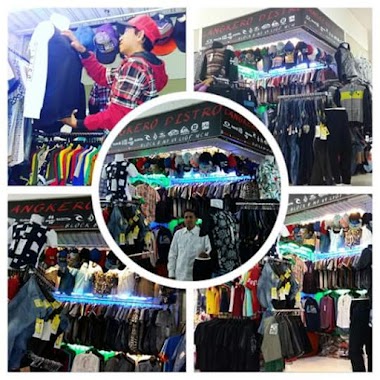
Langkero Distro
Hative Kecil
Clothing store
read more
1.266 km
Robinson
Hative Kecil
Clothing store
read more
1.27 km
Point Break Maluku City Mall
city mall, Hative Kecil
Clothing store
read more
1.299 km
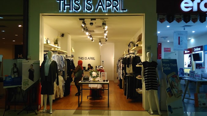
THIS IS APRIL
Hative Kecil
Clothing store
read more
1.323 km
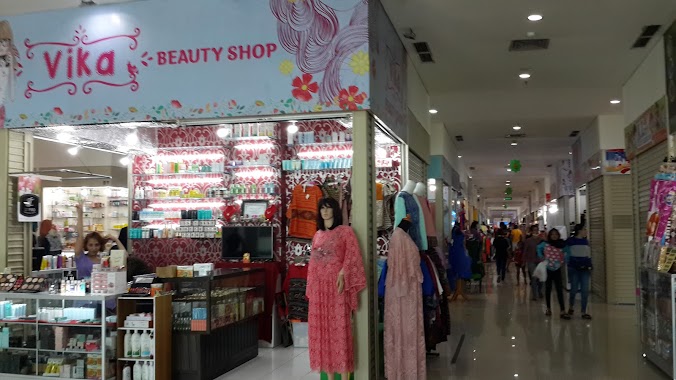
vika shop
Hative Kecil
Clothing store
read more
1.334 km
distroalifuru
Batu Merah
Clothing store
read more
1.359 km
Distro Amesuki Ambon
Hative Kecil
Clothing store
read more
1.373 km
Arvandistro
Jalan Jenderal Sudirman, Batu Merah
Clothing store
read more
1.386 km
ZLA Topi Custom
Batu Merah
Clothing store
read more
1.642 km
Toko Sinjai Sejuk 3
Jalan Ruko Batumerah, Batu Merah
Clothing store
read more
1.69 km
TOKO KURNIA A'A
Batu Merah
Clothing store
read more
1.695 km
TOKO RIBO JAYA 3
Jalan Ruko Batumerah, Batu Merah
Clothing store
read more
1.714 km
Toko R.A.A
Batu Merah
Clothing store
read more
1.991 km
Toko Abil
Kel Rijali
Clothing store
read more
2.015 km
Toko Almajid Murni
Kel Rijali
Clothing store
read more
2.329 km
batik pala cengkeh ambon
Jln.Pattimura (lorong kontempo), Uritetu
Clothing store
read more
2.335 km
Kontempo
Uritetu
Clothing store
read more
📑
all categories
Accounting
Administrative area level 1
Administrative area level 2
Airport
Amusement park
Aquarium
Art gallery
Atm
Bakery
Bank
Bar
Beauty salon
Bicycle store
Book store
Bowling alley
Bus station
Cafe
Campground
Car dealer
Car rental
Car repair
Car wash
Casino
Cemetery
Church
City hall
Clothing store
Colloquial area
Convenience store
Courthouse
Dentist
Department store
Doctor
Electrician
Electronics store
Embassy
Finance
Fire station
Florist
Food
Funeral home
Furniture store
Gas station
General contractor
Grocery or supermarket
Gym
Hair care
Hardware store
Health
Hindu Temple
Home goods store
Hospital
Insurance agency
Intersection
Jewelry store
Laundry
Lawyer
Library
Liquor store
Local government office
Locality
Locksmith
Lodging
Meal delivery
Meal takeaway
Mosque
Movie rental
Movie theater
Moving company
Museum
Natural feature
Neighborhood
Night club
Painter
Park
Parking
Pet store
Pharmacy
Physiotherapist
Place of worship
Plumber
Point of interest
Police
Political
Post office
Premise
Real estate agency
Restaurant
Roofing contractor
Route
Rv park, camping
School
Shoe store
Shopping mall
Spa
Stadium
Storage
Store
Subpremise
Supermarket
Synagogue
Taxi stand
Train station
Transit station
Travel agency
University
Veterinary care
Zoo
administrative area level 3
administrative area level 4
administrative area level 5
sublocality level 1
↑