Cafe nearby SIKUMANA
Coronavirus disease (COVID-19) Situation
confirmed cases
6829221
deaths
162063
Indonesia
Cafe nearby SIKUMANA
SIKUMANA
Unnamed Road, Cijayanti Indonesia
contacts phone
:
+62
Latitude:
-6.6201127
, Longitude:
106.8929946
read more
nearest Cafe
377 m
Tato Bondan
Unnamed Road, Cijayanti
Cafe
read more
427 m
Saung Lesehan Kang Kapsul
Bojong Koneng
Cafe
read more
430 m
"Kapsul Cafes"
Bojong Koneng
Cafe
read more
786 m
Cafe Djawir
Bojong Koneng
Cafe
read more
920 m
Waroeng ICELAND Sejati
Bojong Koneng
Cafe
read more
944 m
Kedai Kopi Omah Omar Sentul
Jalan Gunung Batu, Cijayanti
Cafe
read more
1.031 km
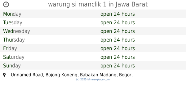
warung si manclik 1
Unnamed Road, Bojong Koneng
Cafe
read more
1.054 km
cafe careuh 2
Jalan Pelangi Raya, Cijayanti
Cafe
read more
1.056 km
cafe CG
Jalan Gunung Batu, Bojong Koneng
Cafe
read more
1.141 km
Warung Kita @lencob
warung kita @lencob bojong koneng, Bojong Koneng
Cafe
read more
1.143 km
warung kopi kita
Bojong Koneng
Cafe
read more
1.143 km
Warung Jurang 1
Jalan Raya Bojong Koneng, Bojong Koneng
Cafe
read more
1.168 km
Warkop Avatar
Jl. Lingkar Macan, Bojong Koneng
Cafe
read more
1.268 km
Warung Kita Puncak3
Jalan Bojong Koneng - Gunung Geulis, Bojong Koneng
Cafe
read more
1.424 km
cafe jack
Unnamed Road, Gunung Geulis
Cafe
read more
1.542 km
seblak Mang Wahyu
Unnamed Road, Cijayanti
Cafe
read more
1.61 km
Warung Neng Geulis
Jalan Cipayung - Gunung Geulis No.89, Gunung Geulis
Cafe
read more
1.664 km
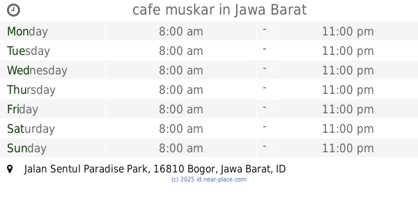
cafe muskar
Jalan Sentul Paradise Park, Bojong Koneng
Cafe
read more
1.788 km
cafe lord jon
Gunung Geulis
Cafe
read more
1.794 km
Warung Gokong
Jalan Pasir Karet, Cijayanti
Cafe
read more
1.917 km
Tempat Ngopi
Jalan Cipayung - Gunung Geulis No.89, Gunung Geulis
Cafe
read more
2.171 km
Cafe Careuh Dey
Gunung geulis village, Cipayung Datar
Cafe
read more
2.272 km
Kafe Irwan R. Bakara
Jalan Bukit Pelangi, Cipayung Datar
Cafe
read more
2.42 km
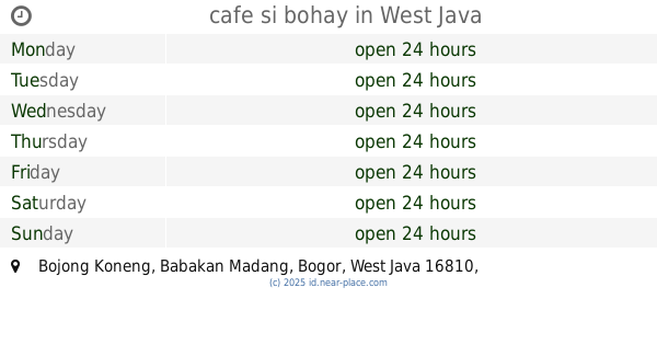
cafe si bohay
Bojong Koneng
Cafe
read more
2.593 km
Warung Kopi Ma Piah
Gunung Geulis
Cafe
read more
📑
all categories
Accounting
Administrative area level 1
Administrative area level 2
Airport
Amusement park
Aquarium
Art gallery
Atm
Bakery
Bank
Bar
Beauty salon
Bicycle store
Book store
Bowling alley
Bus station
Cafe
Campground
Car dealer
Car rental
Car repair
Car wash
Casino
Cemetery
Church
City hall
Clothing store
Colloquial area
Convenience store
Courthouse
Dentist
Department store
Doctor
Electrician
Electronics store
Embassy
Finance
Fire station
Florist
Food
Funeral home
Furniture store
Gas station
General contractor
Grocery or supermarket
Gym
Hair care
Hardware store
Health
Hindu Temple
Home goods store
Hospital
Insurance agency
Intersection
Jewelry store
Laundry
Lawyer
Library
Liquor store
Local government office
Locality
Locksmith
Lodging
Meal delivery
Meal takeaway
Mosque
Movie rental
Movie theater
Moving company
Museum
Natural feature
Neighborhood
Night club
Painter
Park
Parking
Pet store
Pharmacy
Physiotherapist
Place of worship
Plumber
Point of interest
Police
Political
Post office
Premise
Real estate agency
Restaurant
Roofing contractor
Route
Rv park, camping
School
Shoe store
Shopping mall
Spa
Stadium
Storage
Store
Subpremise
Supermarket
Synagogue
Taxi stand
Train station
Transit station
Travel agency
University
Veterinary care
Zoo
administrative area level 3
administrative area level 4
administrative area level 5
sublocality level 1
↑