Cafe nearby Es Kelapa Barokah
Indonesia
Cafe nearby Es Kelapa Barokah
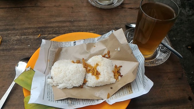
Es Kelapa Barokah
Jalan BTN Cipagiri, 16157, Kota Bogor, Jawa Barat, ID Indonesia
contacts phone
:
+62
Latitude:
-6.5452442
, Longitude:
106.819203
larger map & directions
read more
nearest Cafe
304 m
Warkop wink
Jalan Mandala II, Ciparigi
Cafe
read more
373 m
Cafe Akmal
Jalan Mandala No.5, Ciparigi
Cafe
read more
398 m
Warung Pelux
Jalan Raya Cibuluh, Cibuluh
Cafe
read more
412 m
Warung Peluk
Jalan Raya Cibuluh, Cibuluh
Cafe
read more
420 m
Flavor Milk Bogor VBI
Ciparigi
Cafe
read more
430 m
Capcin YANICK
Jalan Mandala No.51A, Ciparigi
Cafe
read more
431 m
Kedai Decymal
Ciparigi
Cafe
read more
594 m
Angkringan Super Bedjo
Jalan Pangeran Sogiri, Ciluar
Cafe
read more
657 m
Warkop Mang Maman
Jalan Neglasari 2 No.4-36, Ciparigi
Cafe
read more
698 m
warung kopi eman
Jalan Neglasari 2 No.4, Ciparigi
Cafe
read more
752 m
Razel Cafe
Jalan Ciburial, Ciparigi
Cafe
read more
760 m
Warung TANGGA VBI
blok cc16, Jalan Villa Bogor Indah Blok C2 No.2, Ciparigi
Cafe
read more
773 m
Botram Food & Beverages
Jalan Bahasa Indonesia No. 30 Komplek PDK Rt. 003/006, Ciparigi
Cafe
read more
786 m
Bakso Berkah 2
Jalan Ciburial 3 No.5, Ciparigi
Cafe
read more
804 m
Kedai Coffee Pas'teu?
Tanah Baru
Cafe
read more
804 m
Warkop Kuningan
Cimandala
Cafe
read more
844 m
Telor Gulung Tyo
Jalan ciburial no.38 rt/rw 04, 06, Ciparigi
Cafe
read more
869 m
Studio Music 88 Cafe
Jalan Pangeran Asogiri, Tanah Baru, Bogor Utara, Tanah Baru
Cafe
read more
984 m
Warung Mbo'Yem
Asrama Pomad Rt 07, 08, Ciluar
Cafe
read more
1.003 km
JSC ENT
Jalan Villa Bogor Indah No.CA9, Kedunghalang
Cafe
read more
1.021 km
Kedai Bang Rony
Ciparigi
Cafe
read more
1.032 km
Mie Ayam Bakso Teh Isah
Jalan Batara, Ciluar
Cafe
read more
1.071 km
Toshida
AA12 no14., Jalan Lariosaurus, Kedunghalang
Cafe
read more
1.102 km
DBD BIRD FARM
I, Jalan Pembangunan, Kedunghalang
Cafe
read more
1.113 km
Warung Seblak dan Sop Durian Mamah Jelin
Jalan Bhayangkara, Kedunghalang
Cafe
read more
📑
all categories
Accounting
Administrative area level 1
Administrative area level 2
Airport
Amusement park
Aquarium
Art gallery
Atm
Bakery
Bank
Bar
Beauty salon
Bicycle store
Book store
Bowling alley
Bus station
Cafe
Campground
Car dealer
Car rental
Car repair
Car wash
Casino
Cemetery
Church
City hall
Clothing store
Colloquial area
Convenience store
Courthouse
Dentist
Department store
Doctor
Electrician
Electronics store
Embassy
Finance
Fire station
Florist
Food
Funeral home
Furniture store
Gas station
General contractor
Grocery or supermarket
Gym
Hair care
Hardware store
Health
Hindu Temple
Home goods store
Hospital
Insurance agency
Intersection
Jewelry store
Laundry
Lawyer
Library
Liquor store
Local government office
Locality
Locksmith
Lodging
Meal delivery
Meal takeaway
Mosque
Movie rental
Movie theater
Moving company
Museum
Natural feature
Neighborhood
Night club
Painter
Park
Parking
Pet store
Pharmacy
Physiotherapist
Place of worship
Plumber
Point of interest
Police
Political
Post office
Premise
Real estate agency
Restaurant
Roofing contractor
Route
Rv park, camping
School
Shoe store
Shopping mall
Spa
Stadium
Storage
Store
Subpremise
Supermarket
Synagogue
Taxi stand
Train station
Transit station
Travel agency
University
Veterinary care
Zoo
administrative area level 3
administrative area level 4
administrative area level 5
sublocality level 1
↑